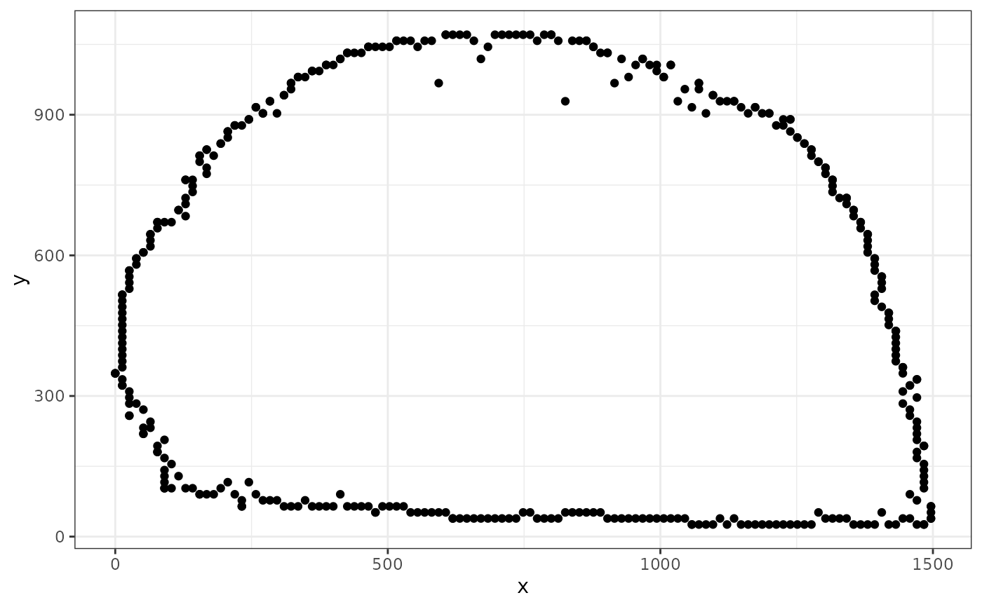
Extract boundary points from a 3D topographic scan
Source:R/x3p_boundary_points.R
x3p_boundary_points.RdThis function identifies and extracts the boundary points from a 3D topographic scan in x3p format.
Arguments
- x3p
An
x3pobject representing a topographic scan.- sample
A positive integer that defines the sampling rate for the
xandydirections. Everysamplevalue will be included in the output. Higher values lead to faster computation but a less precise boundary representation.
